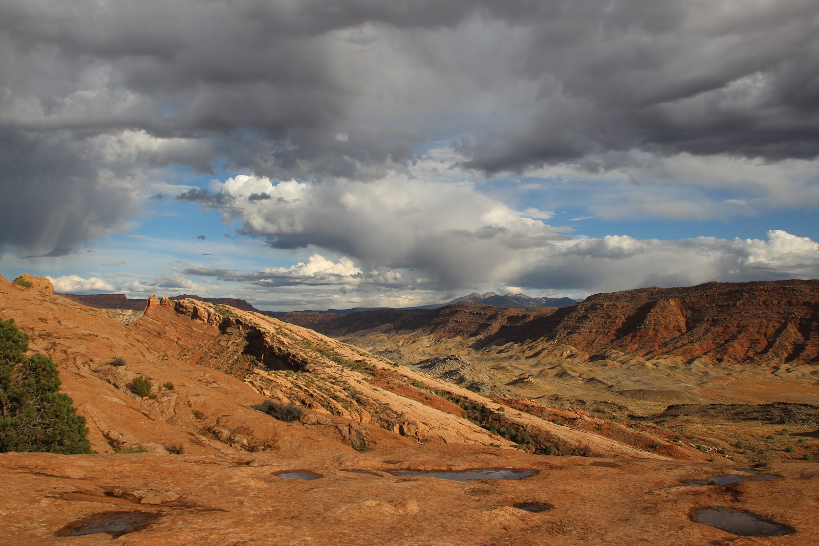
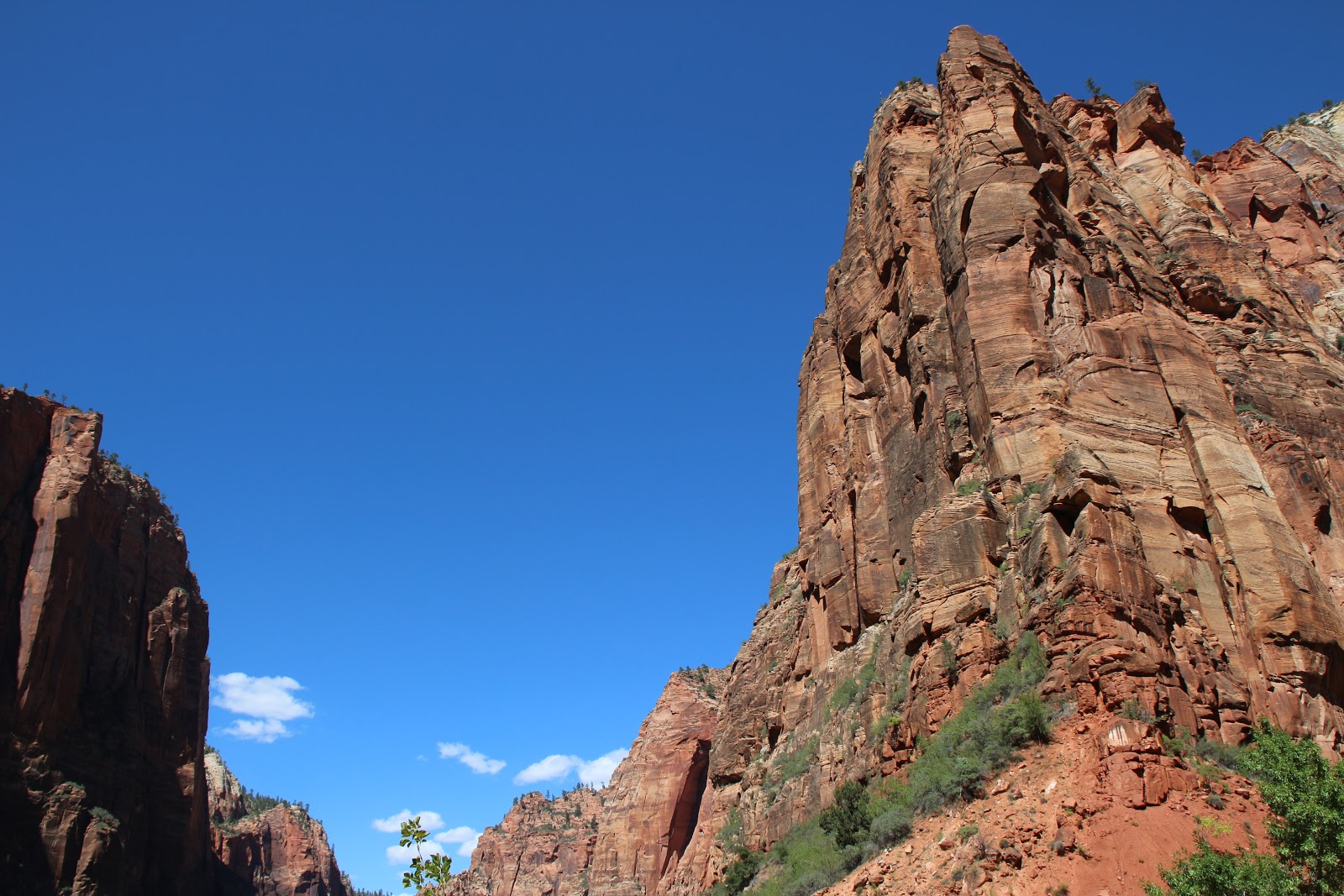
This page outlines a planned eight day road trip to explore five national parks in Southern Utah known as the "Mighty Five"; and also to see Lower Antelope Canyon in northern Arizona. Click any map or image on this page to zoom in.
Route Start: Salt Lake City, Utah
Route End: Las Vegas, Nevada
The planned route begins in Salt Lake City with overnight stops in Moab, Ticaboo, Escalante, Page, Az, and Springdale before departing from Las Vegas.
|
Agenda
|
| Day |
City |
Park |
| 1 |
Salt Lake City, UT |
|
| 1 & 2 |
Moab, UT |
Arches National Park and Canyonland National Park |
| 3 & 4 |
Ticaboo/Bullfrog, UT |
Capitol Reef National Park |
| 5 & 6 |
Escalante, UT |
Escalante Staircase and Bryce National Park |
|
|
|
| 8 & 9 |
Springdale, UT |
Zion National Park |
| 9 & 10 |
Las Vegas, NV |
|
Overview
The starting point is Salt Lake City and the route moves counter-clockwise through Southern Utah ending up in Las Vegas.
Moab and Arches National Park
Key Sights - Landscape Arch, Delicate Arch, Double Arch.
The first overnight is in Moab which is four hours from Salt Lake City with easy access to Arches and CanyonLand National Parks.
Delicate Arch is one of three formations in Arches and it is a short drive from Moab. And it can be reached on foot from a trailhead parking lot and, also, by a short drive to Delicate arch viewpoints.
Drive time to Delicate Arch trailhead from Moab is 30 minutes. The Upper Viewpoint (a half mile walk with stairs) provides less obstructed views than the Lower Viewpoint. The trail to see Delicate Arch up close is 3 miles roundtrip and climbs 480 feet. The steady uphill trail passes Wolfe Ranch cabin and a wall of Ute Indian petroglyphs.
Here's a Google Earth view of Delicate Arch.
Google-Map: Moab to Landscape Arch
Canyonland National Park
Key Sights -Grandview Overlook, Confluence Overlook, Mesa Arch, Green River Overlool
Canyonland is divided by the Colorado river. The northern section can be reached using state road 313 from Moab and the southern section using state road 211 which connects to route 191. Visiting both sections in one day could be a challenge.
Here are Google map links to three possible Canyonland destinations.
Google-Map: Moab to Grand View Point Overlook
Google-Map: Moab to Slickrock Foot Trailhead - Short hike to Big Spring Canyon Overlook. Good view of the Needles in the distance
Google-Map: Moab to Confluence Overlook - Drive from Moab
+ 10 mile hike
Moab to Ticaboo
Moab to Ticaboo by the northern route takes about 3 hours. The southern route follows the Burr Trail Scenic Backway which, generally, is suitable for use by standard passenger vehicles.
Monument Vally - San Juan River Excursion
These perspectives are from a point about 2 hours south of Moab on the Utah-Arizona border. See the
map and see
Utah Four Corners .
|
Google Earth Views
|
Looking South to Monument Valley
|
Monument Valley from Forrest Gump Point
|
Monument Valley and San Juan river from Goosenecks
|
Mexican Hat and San Juan River
|
A Google Earth view of Monument Valley from
Goosenecks State park overlooking the San Juan river; an easy drive from main highway at Mexican Hat.
Lake Powell
Ticaboo is located just north of Bullfrog marina where power boats are available for rent.
Lake Powell Links
Bullfrog Guide
National Park Service Frequently Asked Questions about Lake Powell
https://www.lakepowell.com/discover/area-maps/lake-powell-map-bullfrog-marina-ut/
https://www.lakepowell.com/discover/area-maps/north-lake-powell-map/
Cathedral in the Desert |
Images for Cathedral in the Desert
Return of Cathedral in the Desert |
30 Days in the Desert
Here's a Google map with a pin drop at the location of "Cathedral in the Dessert". Before Lake Powell was created, the cathedral was a waterfall in a narrow slot canyon. The waterfall was lost as waters of the lake rose. Depending on conditions, this location can be reached by boat from Lake Powell.
Bullfrog Bay and Nearby Points
At Mile 94 Lake Powell is Bullfrog Marina with easy access to Moki Canyon and Forgotten Canyon both of which may be hiked from the water.
Moqui Canyon:
Moqui Canyon is sometimes spelled as Moki Canyon. Regardless of the spelling, Moqui Canyon is a spectacular place to visit. This canyon is just north of Bullfrog Bay, at Mile 99. The two canyons at the end can be hiked for several miles.
Narrow, steep, and spectacular, Moki Canyon—about eight miles, or 45 minutes by houseboat, from Bullfrog Marina—is your destination for incredible kayaking. Explore the same caves and canyons where Native Americans lived centuries ago. Discover ancient Anasazi ruins and petroglyphs. You’ll paddle between stonewalls that soar up to 400 feet above you; there’s also a beach with a sandy hill where you can take your houseboat. The canyon splits into three fingers at the end, each providing its own distinct adventure for exploring and sightseeing. You’ll find great fishing at the mouth of the canyon, with striped bass biting all year round. And you’re only about five miles from the amenities of Halls Crossing Marina, making Moki Canyon an ideal place to enjoy the beauty of Lake Powell.
More
Forgotten Canyon:
Forgotten Canyon, at Mile 106, is best
known for Defiance House, a restored Anasazi ruin that is shown below.
This ruin can be accessed by a trail from the water and is easily
visible from the water. There are some good campsites in Forgotten
Canyon and some good hiking at the end of the canyon.
Capitol Reef National Park
Looking west from the point where Burr Trail crosses the "Reef" in Capitol Reef.
Golden Throne - Near Fruita in northern Capitol Reef
Brimhall Bridge - Near
Halls Creek Overlook in southern Capitol Reef
The link below opens a PDF view of Burr Trail
Burr Trail End to End - Bullfrog to Boulder
Escalante
Escalante Staircase
Bryce/Bryce NP
Bryce Point 360 Panorama
Google-Map: Inspiration Point
Google-Map: Bryce Point
Google-Map: Sunset Point
Google-Map: Bryce to Rainbow Point
Google-Map: Natural Bridge
Page,AZ/ Lower Antelope Canyon
Images of Lower Antelope Canyon
Springdale/Zion NP


